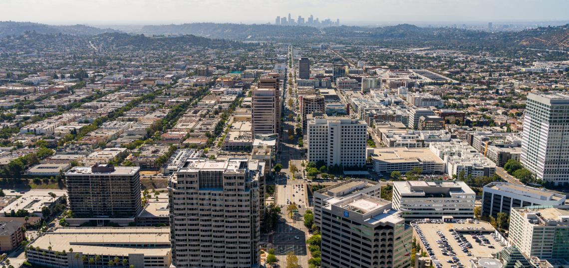
A new pedestrian plan launched by the City of Glendale could bring safety enhancements to some of its most collision-prone corridors.
The plan, which is funded by a $500,000 state grant, includes overall policy recommendations as well as dozens of potential infrastructure improvements to be built in three phases over a period of 25 years. Glendale is focusing its efforts on 16 corridors, which were identified based on demand, frequency of collisions, and equity considerations such as high concentrations of disabled persons, households without vehicles, people of color, and those living in poverty.
The 16 corridors, which account for 40 percent of all pedestrian injury collision injuries citywide, are:
- Broadway (Jackson to Cedar);
- Pacific Avenue (California to Ivy);
- Glendale Avenue (Maple to Cypress);
- Glendale Avenue (Doran to Broadway);
- Colorado Street (Brand to Kenwood);
- Colorado Street (Adams to Lincoln);
- Wilson Avenue (Central to Adams);
- Glenoaks Boulevard (Linden to Sonora);
- San Fernando Road (Raymond to Davis);
- San Fernando Road (Garfield to Los Feliz);
- Brand Boulevard (Doran to Colorado);
- Brand Boulevard (Maple to Garfield);
- Pacific Avenue (Stocker to Burchett);
- Central Avenue (Glenoaks to Wilson);
- Doran Street (Central to Glendale);
- La Crescenta Avenue (Montrose to Honolulu)
Proposed improvements to the priority corridors include the addition of high-visibility crosswalks, curb extensions, flashing beacons, median refuge islands, and dedicated left-turn signals.
The pedestrian plan also explores potential "first mile-last mile" infrastructure for neighborhoods surroundings Glendale's major transit corridors, including Brand Boulevard in Downtown Glendale, the intersection of Broadway and Glendale Avenue near the Civic Center, and the intersection of Verdugo Road and Canada Boulevard near Glendale Community College. Recommended projects for the three areas include new mid-block pedestrian crossings, pedestrian-scaled lighting, sidewalk extensions, bikeways, and other traffic-calming measures.
One corridor which could be poised for more substantial upgrades is Louise Street in the City's Downtown. Located one block east of Brand Boulevard, the street offers a connection to both Glenoaks Boulevard and neighborhoods to the south, and offers relatively narrow dimensions with an existing tree canopy. The plan offers three scenarios for turning Louise into a greenway or bicycle boulevard, all of which would employ sidewalk bulb-outs or median landscaping to slow the speed of automobile traffic.
In addition to programming and infrastructure projects, Glendale's pedestrian plan also suggests policy changes in a bid to reduce traffic injuries. The list of recommendations offered for consideration include banning right turns on red lights, reducing speed limits, and introducing pedestrian head-start signals at crosswalks.
The full suite of projects from the pedestrian plan, if completed, would cost more than $52 million. Funding could come from a variety of state, local, and federal sources, as well as alternative financing mechanisms such as public-private partnerships.
The Glendale pedestrian plan is currently in its environmental review phase. The project's draft environmental impact report can be viewed here.
- Glendale (Urbanize LA)


